

After nearly 100 years of dams, sediment accumulation, and other impacts, the Sandy River is once more flowing freely. Through priority restoration projects with partners from Timberline to Troutdale, habitat has been slowly rebuilt across its course.
But is this progress really justifiable? For instance, in 2012 the Forest Service constructed a bridge over Ramona Creek within Mount Hood Wilderness.
Optimal Water Level
The Sandy River runs through Portland’s metro area, providing water for urban use as well as wildlife habitat. Recreation opportunities abound along its length – fishing, kayaking, and hiking among them – and its geology is reflective of its rich cultural history: tectonic stress, explosive volcanism, glaciation processes, and disintegration and regeneration of enormous conifer forests are among its dramatic elements.
Before the early 1900s, this river was known for massive runs of Chinook salmon and steelhead. Unfortunately, commercial harvest and hatchery harvest drastically decreased them to hundreds; by the 1920s, it had nearly dried out completely; yet over time, the Sandy River has once more become one of Oregon’s premier fisheries for wild salmon and steelhead.
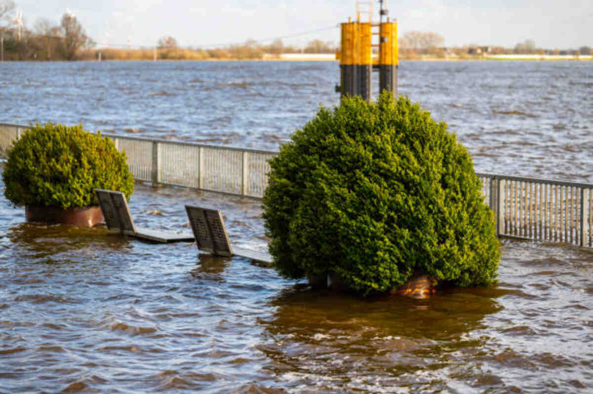
This page is intended to provide up-to-date information on water levels and flow conditions in the Sandy River basin, using real-time data provided by the Bull Run River stream gauge. However, this data should not be seen as a replacement for weather and flood watches/warnings issued by the National Weather Service (NWS).
River flows can be affected by rain, snowmelt, irrigation, and human activities; during periods of high streamflow, the river can become hazardous for boaters and anglers, with erosion along riverbanks contributing to sediment returning into the water and poor fish habitat conditions resulting.
Optimal Fishing Level
The upper Sandy River is renowned for its steelhead fishing opportunities. Both wild and hatchery steelhead are readily available throughout the year; trout numbers remain relatively low but are steadily increasing. Furthermore, this river serves as a coho habitat area.
At this time of year, due to snowmelt and runoff, the Sandy is relatively polluted; nevertheless, fish seem eagerly willing to bite!
Winter steelhead fishing on the Sandy is some of the best action available, with November through May offering the most reliable runs.
Drift fishing is one of the best methods for medium to high flows. Jack Glass of Team Hook-Up Guide Service utilizes this method by hooking salmon roe and small sand shrimp onto his hook during winter; when river levels decrease, he turns to pink or white jigs from First Bite Tackle or Beau Mac.
Recently, the Sandy has gained acclaim among fly anglers for being an arduous venue to test their skills. Particularly challenging is the lower river near Cedar Creek below the state salmon hatchery – especially the Cedar Creek area, under which there is plenty of classic steelhead water, which draws high pressure when fish run upstream.
Formerly, three miles below Oxbow Park were restricted for boat fishing; however, that restriction has since been removed due to Jack Glass’ efforts in helping lift that restriction and asserting that, due to shore fishermen moving upstream, their presence no longer interfered with boat anglers.
Optimal Boat Level
The Sandy River flows west from Mt. Hood and begins its course near Welches, Oregon, eventually reaching The Fly Fishing Shop there. Precipitation provides most of its flow, while snowmelt has seasonal effects as well. When flotating, low water levels provide optimal conditions – when there’s enough available water to navigate obstacles and rapids without running out. When composite boat levels hit 350 cubic feet per second or below on Madrid Sandy River Gage or when below on Mercer Sandy River Gage, see chart for confirmation!
Oxbow-Dabney offers an ideal float at this level. Lewis & Clark-Dabney also makes for an enjoyable journey at this level.
Optimal Paddle Level
Crystal clear water in this section of the river dazzles both novice paddlers and experienced kayakers, delighting both equally. However, not everyone’s skill level aligns with this class of rapids; if this “path less paddled” isn’t for you, consider taking out at Dodge Park or Oxbow Park rather than risking everything on this “path less paddled.”
As well as offering stunning water views, this section of the river also boasts breathtaking sandstone rock outcrops that create spectacular scenery and allow paddlers to get close enough to touch millions of years of geologic history. However, at low water, its cliffs may prove challenging for boats over 11′ to navigate safely.
This stretch of the Sandy River features rocky gorges and fast runs, which offer beginners an excellent training ground for paddling techniques and boat scouting, especially those starting. There are a handful of exciting rapids that provide practice at catch eddies; higher water levels may prove challenging here, so quick adjustments need to be made when necessary.
This incredible river offers spectacular wilderness scenery, as well as an opportunity to spot wildlife. As this area has been officially designated as Wild and Scenic Rivers, it’s essential that no trace of your visit remains and that respect is shown for its natural environment.